So, most of the
walks that I’ve previously shared with you are based around the town centre,
and focus on heritage or history, like the Sculpture, Art and Architecture Trail, or the Zeppelin Trail, so I am pleased to be able to introduce you to a guest blogger
who has either walked or run many of the footpaths, and towpaths around our
wonderful town, and out into the countryside. I’m very lucky as he’s often
taken me with him, well, not running, but certainly walking, so I’m familiar
with the routes too! I’ve known Jon quite a long time, and I’m really pleased
he’s agreed to write something for the blog, instead of listening to me talking
about it all the time!
Over to Mr
Lynneaboutloughborough (his words, not mine!)
 |
| View across Loughborough |
Loughborough to The Outwoods and Back!
Loughborough
is a beautiful town, often very underrated by those who don’t spend time in it,
and even often by those who live, work, or visit there. It is situated in a fairly wide river valley
that gently runs down from Leicester and meets the River Trent at Trent Lock
after about 25 miles, with Loughborough just over halfway along this
route.
On the
Western side of the valley is a series of reasonably high areas, including
Bradgate Park, Mountsorrel Castle and Quarry, Beacon Hill, the Outwoods,
Garendon Park, and the Whatton Ridge. All of these areas are crisscrossed with
public footpaths and bridleways, and having walked and run this extensively, I
know there are paths running most of this distance almost without using public
roads, and many paths down to Loughborough itself, the only major restriction
is the crossing past the Great Central Railway.
On the
Eastern side of the valley are the Wolds, but there are more limited crossings
for the River Soar and the Midland Mainline, however once you are on the other
side there are similar footpaths and bridleways, with many beautiful
walks.
My favourite
walks are along the River Soar/Grand Union Canal in either direction, walking
from Cotes to Prestwold or Stanford Hall, Beacon Hill and from Loughborough to
the Outwoods, which is the walk covered here.
One of the
most notable things about walking around Loughborough is that you can see The
Towers clearly from every direction when on the ridges surrounding
Loughborough, and both the Carillon and the Parish Church are noticeable.
We're going to follow the red route on the map shown below, on which, as well as our route, you'll also see letters of the alphabet (A-R) showing choices of path, and notable features, etc.. There are also 4 blue routes that show more directions you might choose to follow.
Walking to
the Outwoods and back
This walk is
around 7 miles long, and takes around 2 ½ Hours at a gentle pace. It does involve walking uphill, with 1
section of 400m which is fairly steep.
The walk starts at the junction of Forest Road and Epinal Way near
Mountfields School and ends at the Beacon Pub on Beacon Road. Almost all of the walk is on Public
Footpaths, about a mile is walking on pavements, with only a short stretch on a
very quiet access road without any pavement.
You can
shorten the walk to around 4 ½ miles by parking in the Nanpantan Sports Ground
car park, which is on Watermead Lane.
I picked this
walk as it is a regular walk for me, provides some exercise when walked briskly
and has fantastic views over Loughborough.
Starting at
the junction of Forest Road and Epinal Way, walk along the path called the
Forest Green Belt, which runs between the cottages and Mountfields School. This
is a quiet haven compared to the busy road, and is quite cool in the shade in
the hotter, sunnier periods. Note the
flowers that bloom outside the cottage (Mountfields Lodge Cottage) which are
immaculately maintained by Pat Cook, in memory of her husband, Harry Cook, and
there are lots of fairy doors along the footpath.
 |
| Mountfields Lodge Cottage beside the path in the Forest Green Belt |
 |
| Noticeboard at the start of the Forest Green Belt |
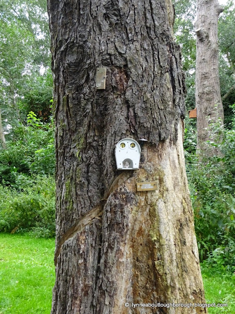 |
| Fairy house |
You will be following the Wood Brook for the
first mile or so, passing the small, relatively new Urban Forest near the
Forest Gate Pub, crossing over Holt Drive, you’ll pass the play park to your
right, and crossing over Outwoods Road you’ll then pass the Lodge Farm Playing
Fields to your left.
 |
| Toby Carvery |
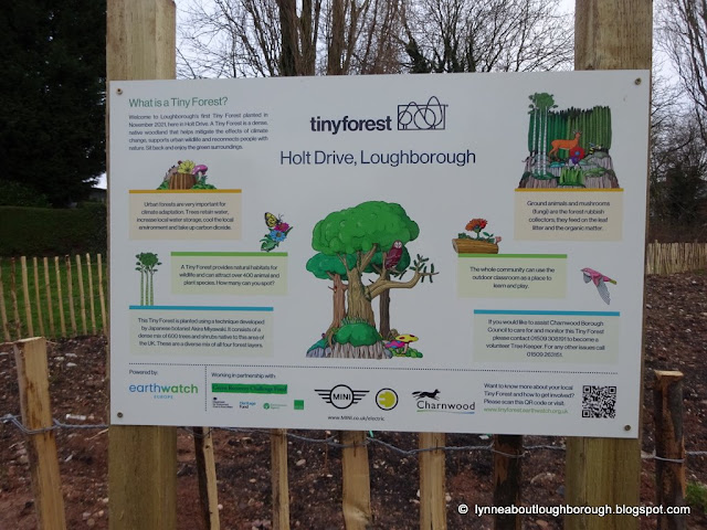 |
| The Tiny Forest |
 |
| The Tiny Forest |
 |
| The Tiny Forest |
 |
| Looking back across the Forest Green Belt |
 |
| Crossing Holt Drive |
 |
| Crossing Outwoods Drive |
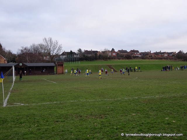 |
| People playing football at Lodge Farm |
Note the allotments
on the other side of the Brook, another Urban Haven (I have my own allotment on
Beacon Road, and I can attest to the delights of quietly working on this to
remove the stresses of modern life). At
the end of the path (A), turn right, past the new flats on the site of the old
post office and small parade of shops and cross Valley Road to take the small
footpath opposite.
Note the junction
between the Wood Brook running towards the One Stop Stores and the smaller
tributary Beck that runs alongside the path.
The Wood Brook runs up past the Nanpantan Reservoir, through the
Outwoods towards its source in the fields on the other side of Beacon
Hill. We will see the Wood Brook later
on.
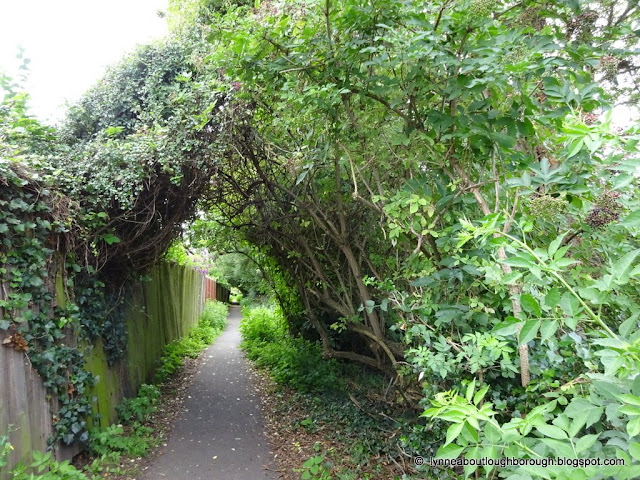 |
| Crossing Valley Road to follow the footpath |
 |
| Crossing Priory Road |
The path is another cool place in the sun, following the brook over a road, behind more houses and coming out in Moat Road, continue a little bit further and you’ll see a small Bridge (B) over the brook towards a green patch, the big Oak Tree straight ahead is one of my favourite trees, partially because I once sheltered under the sloping trunk during a major rainstorm.
 |
| Path off Moat Road towards The Outwoods |
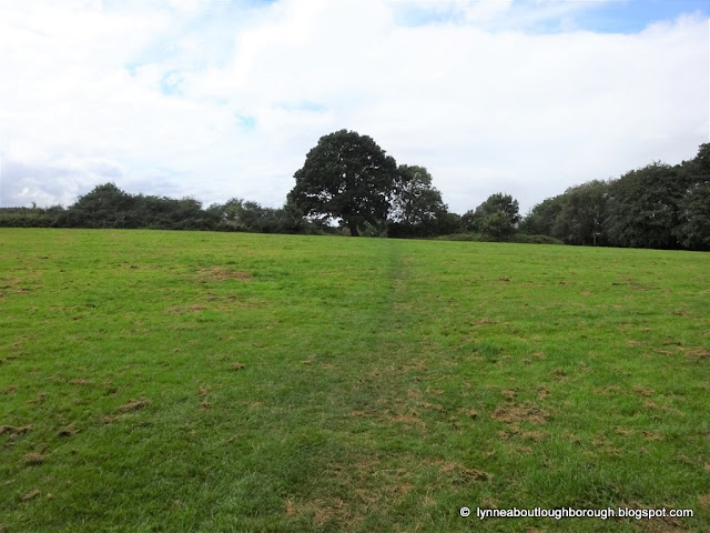 |
| Oaktree |
To the left of the path is Pignut Spinney Marsh. Take a right after the oak tree
and follow the path along the edge of the fields, initially beside the houses
and then alongside the Nanpantan Sports Fields (where we follow the Wood Brook
again). This year the fields have Oats
growing, but I have seen them with Wheat, Sweetcorn, Cabbage and Hay over the
years. You’ll pass the new soakaway at
the new cemetery and then you turn left (C) up the
farm track, where there will be a public footpath sign to the right (D) through
the hedge and along side the fields [the path you’ve turned off is a private
drive leading to Outwoods Farm]. Walk up
the hill along the edge of 3 fields and you’ll get to the old-style kissing gate
into the Outwoods (E). At this point, if
you turn around, you get stunning views across Loughborough, including the
Bright Red Woodbrook Vale School, the Towers hall of residence on the
university campus, the former Astra Zeneca plant and to the Bluebell (AKA
Burleigh) Woods. Take a breather and you
can also see Stanford Hall, the Parish Church, and across the valley.
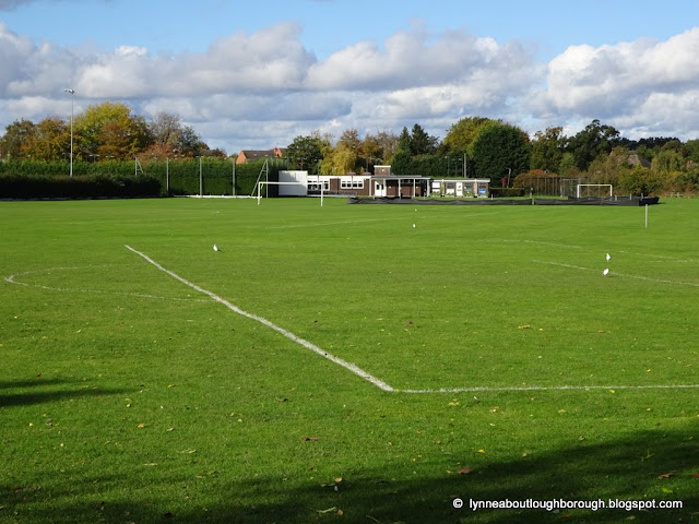 |
| Nanpantan sports ground |
 |
| Oats |
 |
| New cemetery |
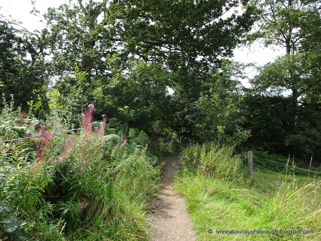 |
| Approaching the kissing gate |
Carry on
along the left-hand path along the Outwoods, past the tall cliff of rock with
the stunning strata showing. You can
cross the Outwoods on the Blue Line marked 1, which brings you out opposite a
footpath that you can take to climb up Buck Hill, which is even higher and has
great views of Nanpantan Hall and Home Farm, but that’s for another day.
Continue along the path, noting the badger/fox gates in the fences on your
left, and in May, the fields of bluebells under the trees on the right, until
you reach the charcoal burner in a clearing in the woods (F), I’ve seen ground-nesting bees entering their hives in this clearing. The Outwoods has many wooden carvings and
benches and it’s worth reading the memorials, some of which are on the benches, to the many people who have similarly loved
the Outwoods. The last section is a
little steeper but takes you up to the car park (G) where you can access
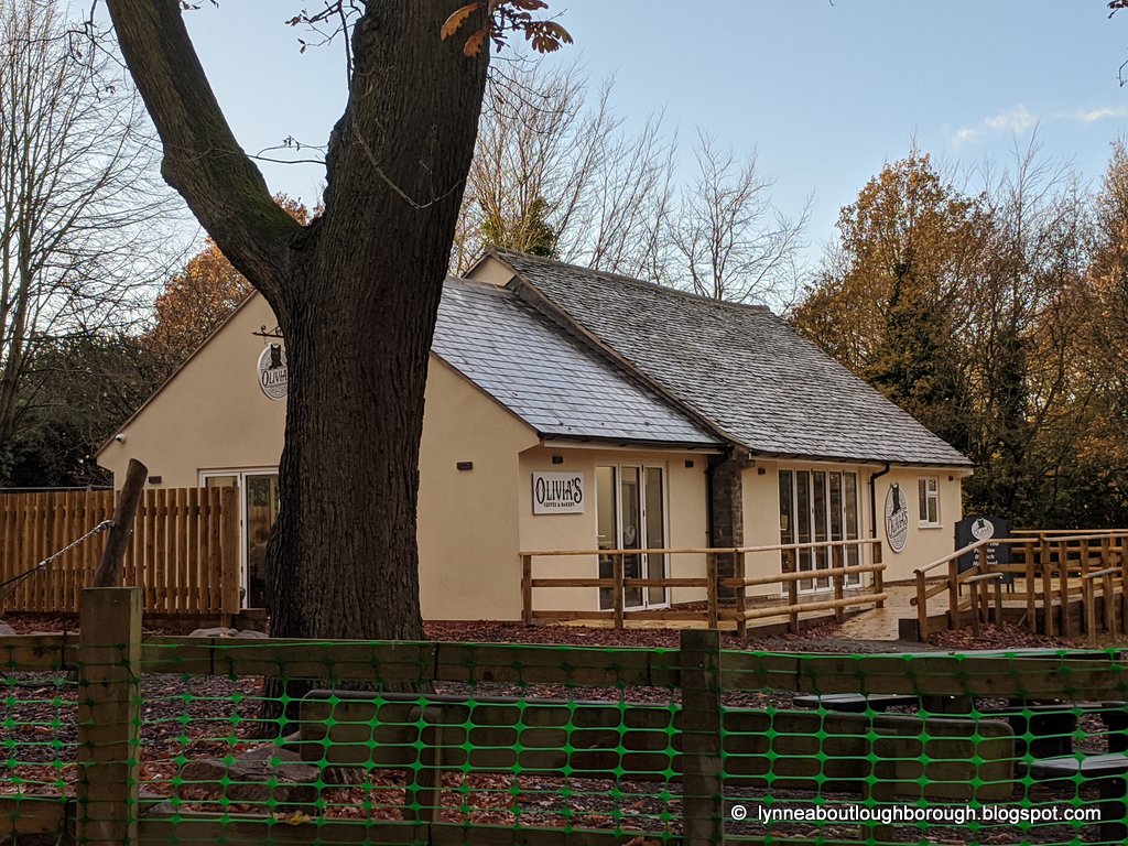
toilets and Olivia’s café if you need to.
You are at the highest point of this walk now, so it’s mostly downhill
from here, but the trees stop you having a view. Most of the trees in the woods are now of
native species as many non-native trees have been felled over the past 5
years.
 |
| Rocks |
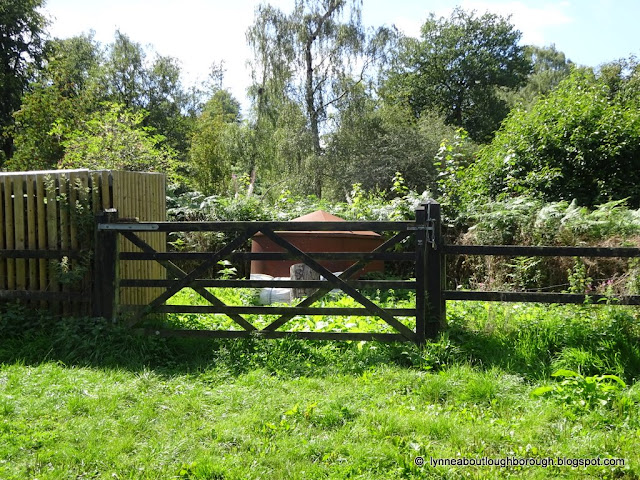 |
| Charcoal burner |
 |
| Trees and willow sculptures at the Outwoods |
 |
| Carved sculpture |
 |
| Cafe |
At the car
park take the path that runs parallel to Woodhouse Lane and down to the Gate at
H. If you are minded to go up Beacon
Hill, you can go through the gate, and follow the new pavement which takes you
into the bottom corner of Beacon Hill Country Park (blue path marked 2), where
there are many wooden sculptures, and beautiful Alpacas, Highland Cattle and
Sheep. It would be around 2 ½ miles to
walk this, but Beacon Hill has fantastic views over the Trent Valley to the
Peak District, and across Charnwood Forest.
However, for
this walk we’ll continue to follow the path in the Outwoods to the left and
down the hill, over the little wooden planking (this section gets very wet in
the wet seasons, so I’m always thankful for the causeway).
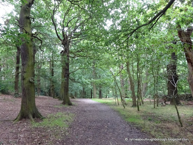 |
| Trees |
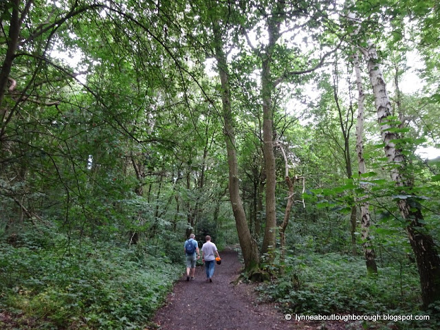 |
| Trees |
 |
| The boardwalk |
Then follow the path up and down until you reach a junction (I). Here, turn right along the
path and you’ll come to a field, where you can turn left which will bring you
down Beacon Lane after around a mile to the junction of Beacon Road and Valley
Road/Belvoir Drive. This path/lane is
called Beacon Lane and is an ancient right of way up to Beacon Hill. But, we’re
going to go straight across though and walk on the path down the field and turn
right at the farm track/bridgeway (J) in the middle of the field, walking past
the old School House and alongside another brook. The bridleway becomes the access drive to the
Schoolhouse, keep walking until you get to the T junction (K). The forest golf course is on the other side
of the trees straight ahead, but we’re going to turn left, as though we were
going to Pocket Gate Farm, but we’ll immediately turn right towards the gate up
the slope, another bridleway. Whilst
walking along this path, looking left gives you more views of Loughborough and
across the valley. Just before the trees
end, Hanging Rock is behind the trees on your right.
Keep
following the bridleway, you may meet horse riders along this path, and the
path becomes and a single-track tarmac access road for the houses. Occasionally you may meet cars coming along
here, but there is space to step onto the verges. You can see the golf course across the fields
to the right-hand side, and occasionally golfers can be seen through the
hedgerow.
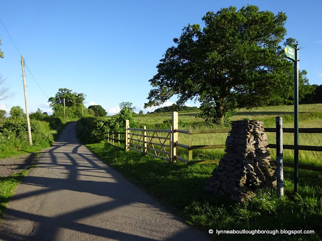
Opposite the
stone pillar (right-hand side of the road, L), there is a footpath sign, go
through the kissing gates towards the trees.
You get a good view of the back of the former Defence Sixth Form College
across the fields, and I’ve seen birds of prey in the trees here. You can carry on instead of taking the
footpath (blue path 3) and this brings you out in Woodhouse Eaves next to the
Bulls Head.
 |
| Approaching the Old School House |
 |
| View down to Loughborough |
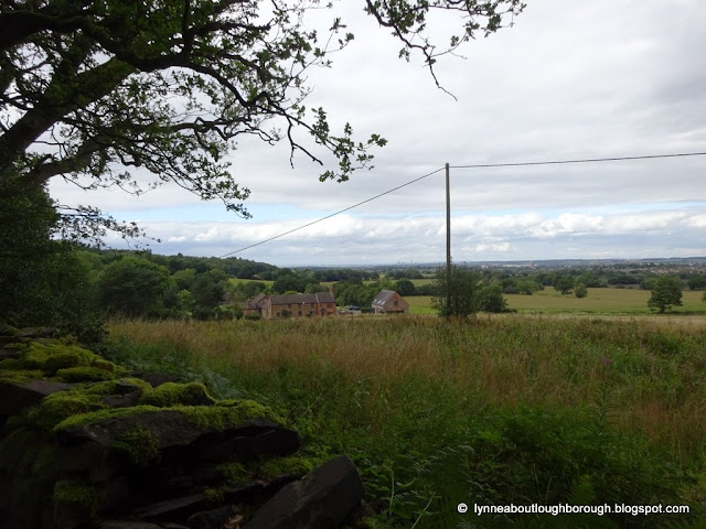 |
| Pocket Gate Farm |
 |
| Footpath to the left |
Go through the woods, which can be very wet and muddy in the winter, but blissfully cool in the hot sun, you cross several bridges and go through very dense trees until you reach the fields which you keep crossing. At the edge of the first field, you will see some blue Gimson railings and posts, there are several sets of these along the edges of the fields in this area. Some of the fields currently have 6’ sweetcorn growing so the views are limited, but exciting for children. You will pass “Halfway House”, a farm halfway between Loughborough and Woodhouse Eaves along this ancient Right of Way, and across the last field towards the woods (M). At the edge of these woods, you can turn tight along Blue path 4, which brings you out by Rainbows Hospice and allows you to pick up the path that skirts Grange Park from which you can pick the path to Beaumanor Hall or to Woodthorpe (another favourite walk of mine). |
| Muddy path |
 |
| Blue Gimson ironwork |
 |
| Hiding in the sweetcorn |
 |
| Halfway House |
We’re going
to cross diagonally across these little woods though, which brings you out at
the footpath that skirts the back and side of Woodbrook Vale School (N). I once met a gentleman along this path whose
family used to keep horses where the newer houses to the left of the path are
located, and who had placed one of the branches that’s still there as a part of
the “fence” to keep the horses in.
 |
| Path alongside Woodbrook Vale School |
At the gates
of Woodbrook Vale, turn left and follow the road until you reach Belvoir Drive,
then cross and turn right and left down Pytchley Drive (O). Many of the roads in this area are named
after prominent fox hunts. At Farndale
Drive, turn right (P) and walk all the way down to the bottom, where you can
see a small jitty joining up with Cross Hill Lane (Q). There are good views over the field here and
across Loughborough, and you can sometimes see rabbits, foxes, badgers or birds
of prey. I’ve seen many of these in
Loughborough, even in the residential areas, and even Green Woodpeckers in the
cemetery.
 |
| Path to Cross Hill Lane between the bungalows |
Turning left
along Cross Hill Lane leads you to Beacon Road (R), close to the post box (which I think is an EIIR), where turning right here
brings you past the William Davis depot, and the beautifully improved Beacon
Pub with its Pétanque pitch, and ending at the Epinal Way Roundabout.
 |
| Cross Hill Lane leads to Beacon Road |
 |
| Estate pub called the Beacon Inn |
One of these
days, I will write a book of Loughborough Walks, but I hope you enjoy this one.
____________________________________
Posted by
lynneaboutloughborough
With apologies for
typos which are all mine!
_______________________________________________
Thank you for
reading this blog.
Copyright:
The copyright
© of all content on this blog rests with me, or in the case of guest
blogposts, with the named Guest Blogger. However, you are welcome to quote
passages from any of my posts, with appropriate credit. The correct citation
for this looks as follows:
Hill, Jonathan
(2023). Walking from Loughborough to The Outwoods and back. Available from: https://lynneaboutloughborough.blogspot.com/2023/08/walking-from-loughborough-to-outwoods.html [Accessed 28 August 2023]
Take down
policy:
I post no
pictures that are not my own, unless I have express permission so to do. All
text is my own, and not copied from any other information sources, printed or
electronic, unless identified and credited as such. If you find I have posted
something in contravention of these statements, or if there are photographs of
you which you would prefer not to be here, please contact me at the address
listed on the About Me page, and I will remove these.
Blog
archive and tags:
If you are
viewing this blog in mobile format, you will not be able to easily access the
blog archive, or the clickable links to various topics. These can be accessed
if you scroll to the bottom of the page, and click 'View Web Version'.
Alternatively, there is also a complete list of posts, which when clicked will
take you to the page you are interested in.
Searching
the blog:
You can
search the blog using the dedicated search box that appears near the top of the
blog when viewed in the web version. Alternatively, you can search using your
usual search engine (e.g. Bing, Google, DuckDuckGo etc.) by following this
example:
site: https://lynneaboutloughborough.blogspot.com/ “Radmoor
House”
NOTE – the words you’re actually looking
for must be in “” and the first of these must be preceded by a space
Thank you for
reading this blog.
Lynne